Winter Precipitation Explained: How to Identify, Prepare For, and Survive Mixed Ice Storms
 By Elena Rostova
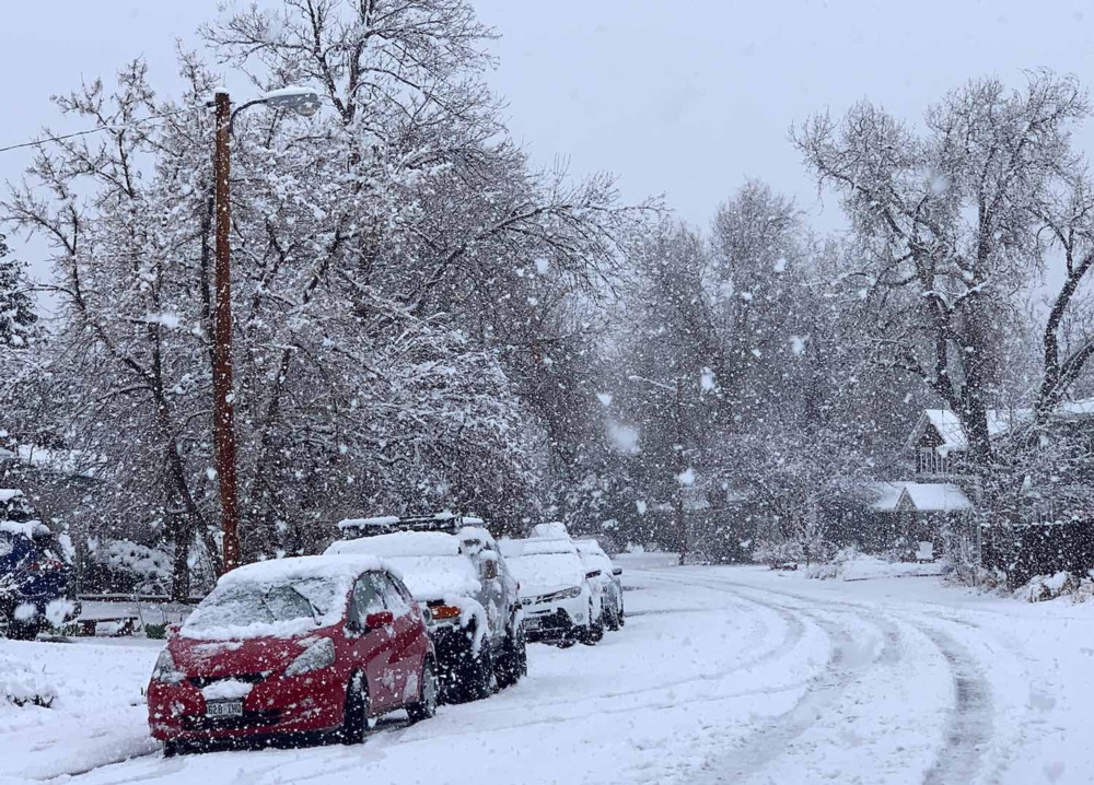
Classic winter snow falls through an atmosphere that remains below 32°F (0°C) from the cloud base straight down to the pavement. When a vigorous low-pressure system pumps moisture northward from the Gulf of Mexico or the subtropical Atlantic, warm air rides up over a dense, shallow dome of arctic air pooled at the surface. Meteorologists classify this structural configuration as an atmospheric temperature inversion.
This wedge of warm air, often hovering between 2,000 and 6,000 feet above the ground, acts as a thermal melting layer. As crystalline snowflakes descend from the upper cloud deck, they encounter air running between 35°F and 45°F. Within minutes, the intricate dendritic ice crystals disintegrate into liquid water drops.
The eventual fate of that moisture depends entirely on the thickness and temperature of the sub-freezing air sitting directly beneath the warm nose. If the cold surface layer is deep, typically exceeding 3,000 feet, the raindrops have ample transit time to refreeze into hard, translucent beads. If that cold surface air measures only a few hundred feet thick, the drops do not have time to solidify in flight. They strike sub-freezing trees, highways, and utility poles as supercooled liquid, flash-freezing on contact.
Elena Rostova holds a Master's degree in Public Health Journalism. She covers groundbreaking medical research, holistic wellness trends, mental health awareness, and nutritional science.
