Can Satellite Images of Your House Be Faked? Inside Google's Fast Rollback of Ai Geospatial Tools
 By Robert Thorne
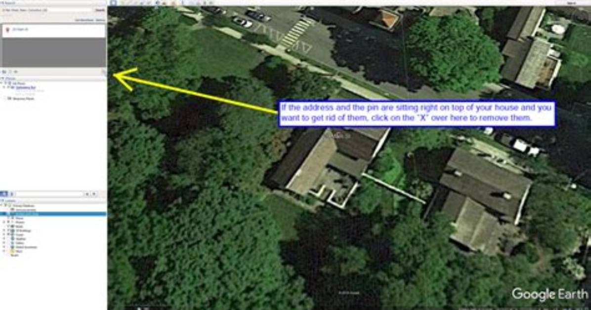
Synthetic aerial photography is not just an academic worry. It impacts real estate valuations, boundary rights, and municipal tax brackets. Most homeowners do not realize how many automated systems scrape consumer satellite platforms. Underwriting firms routinely run computer-vision audits on aerial views to detect unpermitted additions, pool installations, or deteriorating roof shingles.
When an AI model synthesizes property lines to hide low-resolution patches or overcast skies, financial errors follow. An artificial intelligence system tasked with sharpening a blurry satellite view might turn a simple blue patio tarp into an unpermitted in-ground swimming pool. Within months, the homeowner faces an unexpected insurance premium hike or a notice from the local tax assessor.
The reverse problem is just as damaging. Fraud rings have already experimented with injecting synthetic ground modifications into local planning databases. By manipulating open-source aerial captures to show non-existent wetlands or tree groves, bad actors can disrupt zoning approvals or stall neighborhood construction projects. The line between raw earth observation intelligence and manipulated fantasy has thinned out faster than regulators expected.
Robert Thorne covers electric vehicle innovations, autonomous driving systems, global mobility trends, and automotive engineering developments.
