Bir Tawil and the Red Sea: Historical Timeline of a Desert Anomaly
 By Robert Thorne
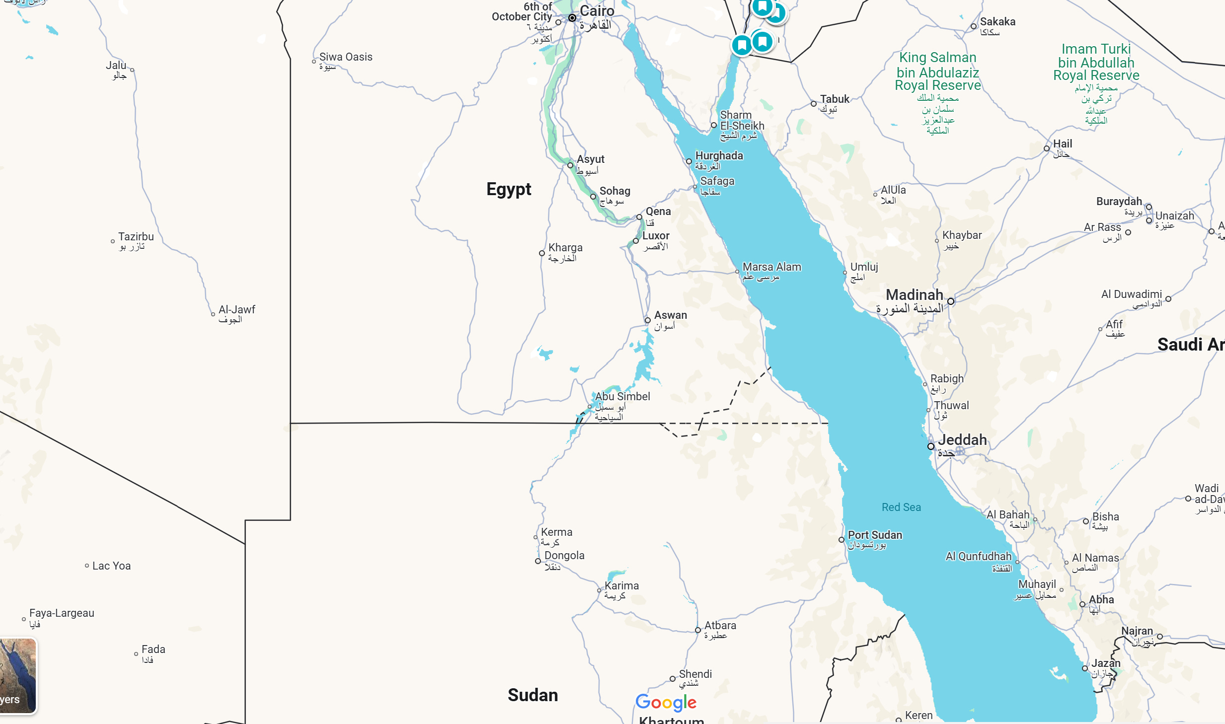
The territorial trade-off is fundamentally asymmetric. Bir Tawil measures 2,060 square kilometers of hyper-arid desert containing no permanent towns. By contrast, the Hala'ib Triangle spans 20,580 square kilometers, ten times larger, and controls more than 180 kilometers of Red Sea coastline.
Administered practically by Egypt's Red Sea Governorate since the mid-1990s, Hala'ib controls lucrative offshore fisheries, pristine coral reefs, potential maritime oil and natural gas basins, and major commercial shipping channels approaching the Suez Canal. Egypt maintains military installations, schools, roads, and civilian housing in Shalatin and Abu Ramad. Sudan continues to lodge annual protests with the United Nations Security Council, insisting that Hala'ib remains sovereign Sudanese territory under the 1902 administrative boundary.
| Territorial Metric | Bir Tawil (Unclaimed) | Hala'ib Triangle (Contested) |
|---|---|---|
| Total Surface Area | 2,060 km² (795 sq miles) | 20,580 km² (7,946 sq miles) |
| Maritime Access | None (100 miles inland) | 180+ km Red Sea shoreline |
| Primary International Treaty | 1899 Condominium (Sudan) / 1902 Admin (Egypt) | 1899 Condominium (Egypt) / 1902 Admin (Sudan) |
| Permanent Population | 0 (Transient nomads & miners only) | Estimated 10,000, 15,000 residents |
| Strategic Assets | Low-grade artisanal gold deposits | Deep-water ports, fisheries, offshore hydrocarbon potential |
Accepting sovereignty over Bir Tawil means abandoning legal ownership over the Hala'ib Triangle coastline. For Cairo, planting a flag in Bir Tawil would acknowledge the validity of the 1902 administrative adjustment, thereby handing Hala'ib to Sudan. For Khartoum, claiming Bir Tawil would require relying on the 1899 treaty, legally confirming Egypt’s sovereignty over Hala'ib. Bir Tawil’s status as a diplomatic orphan is the intentional price both nations pay to protect their coastal ambitions.
Robert Thorne covers electric vehicle innovations, autonomous driving systems, global mobility trends, and automotive engineering developments.
